
Vermont Covered Bridges
Vermont publishes a statewide covered bridges map layer through its Agency of Natural Resources, with each bridge's town, location and year built. The state Division for Historic Preservation says Vermont has more covered bridges per square mile than any other state.
106 bridges listed · 84 with full verified profiles · 75 with licensed photos
Map
Each dot is a bridge's mapped location.
Browse by county
Addison County (5) · Bennington County (5) · Caledonia County (6) · Cheshire County (1) · Chittenden County (5) · Essex County (1) · Franklin County (9) · Grafton County (2) · Lamoille County (14) · Orange County (11) · Orleans County (2) · Rutland County (9) · Washington County (12) · Windham County (12) · Windsor County (12)
Addison County
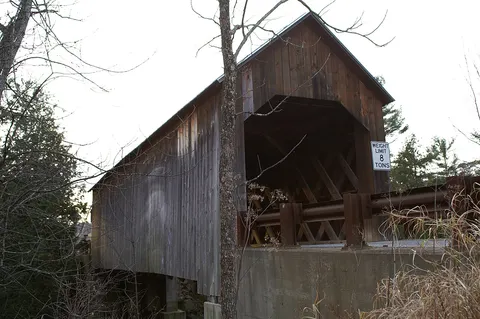
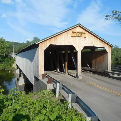
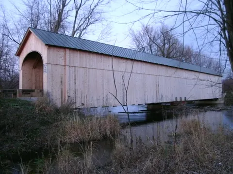
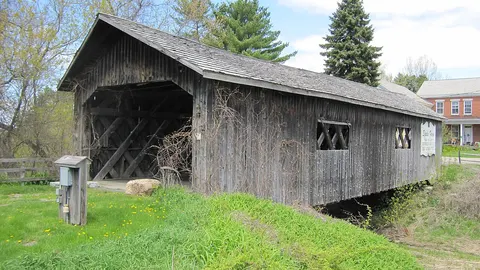
Bennington County
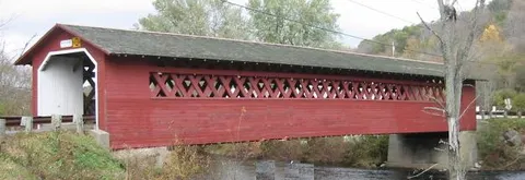
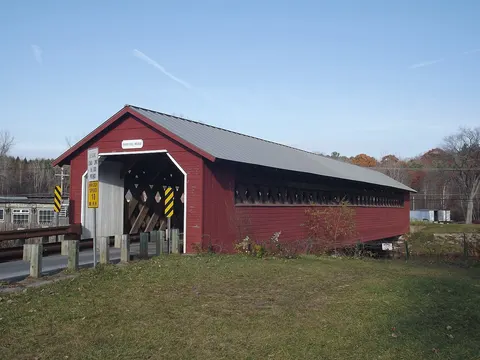
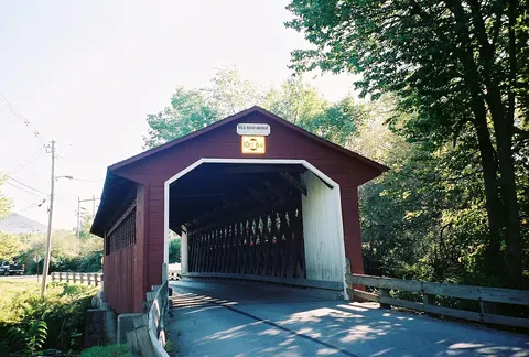
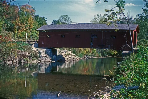
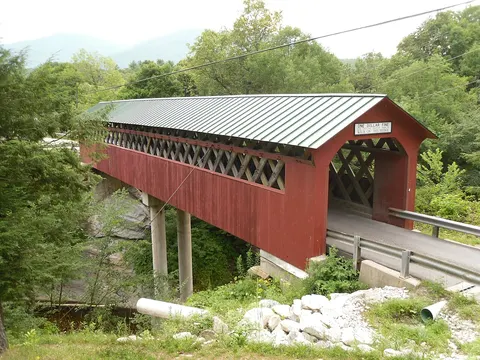
Caledonia County
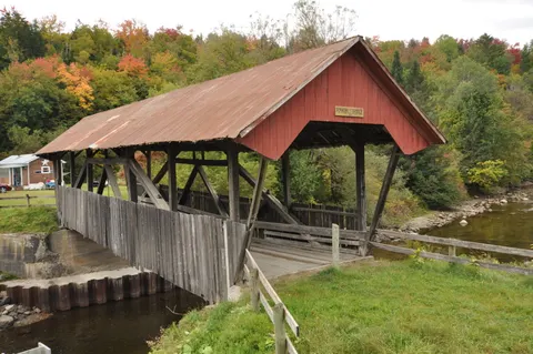 Burrington Covered BridgeLyndon, VT · built 1865
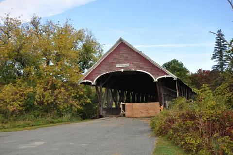 Centre Covered BridgeLyndon, VT · built 1867
Greenbanks Hollow Covered BridgeDanville, VT · built 1886
Millers Run Covered BridgeLyndon, VT · built 1878
Schoolhouse Covered BridgeLyndon, VT · built 1879
Chamberlin Covered BridgeLyndon, VT · built 1881
Limited data
Cheshire County
Chittenden County
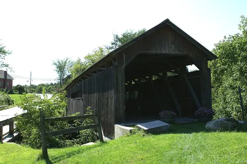
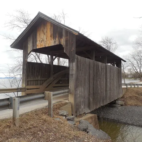
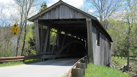
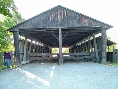
Essex County
Franklin County
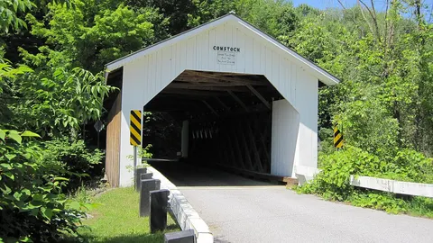 Comstock Covered BridgeMontgomery, VT · built 1883
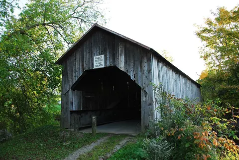 East Fairfield Covered BridgeFairfield, VT · built 1865
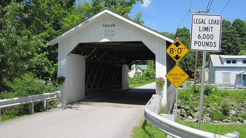 Fuller Covered BridgeMontgomery, VT · built 1890
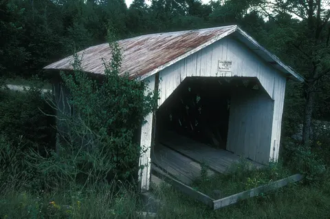 Hectorville Covered BridgeMontgomery, VT · built 1883
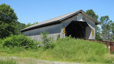 Hopkins Covered BridgeEnosburgh, VT · built 1875
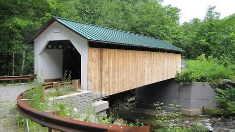 Hutchins Covered BridgeMontgomery, VT · built 1883
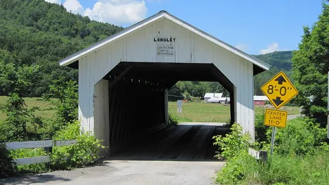 Longley Covered BridgeMontgomery, VT · built 1863
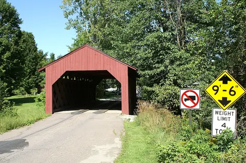 Maple Street Covered BridgeFairfax, VT · built 1865
West Hill Covered BridgeMontgomery, VT · built 1883
Grafton County
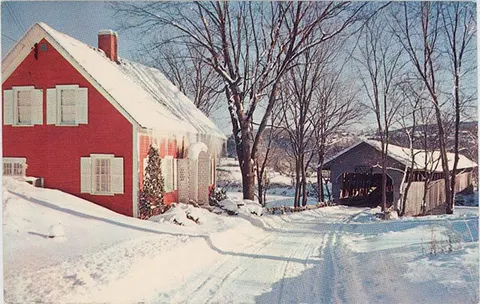
Lamoille County
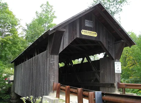 Emily's Covered BridgeStowe, VT · built 1844
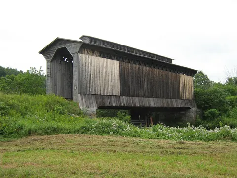 Fisher Railroad Covered BridgeWolcott, VT · built 1908
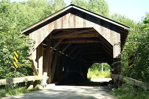 Grist Mill Covered BridgeCambridge, VT · built 1872
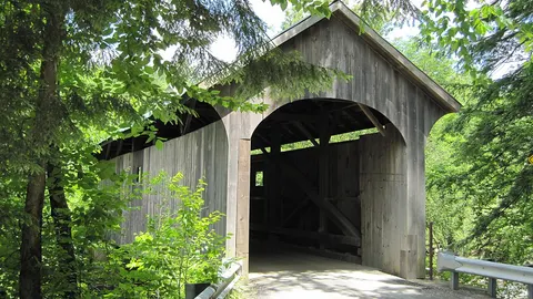 Mill Covered BridgeBelvidere, VT · built 1895
Montgomery Covered BridgeWaterville, VT · built 1877
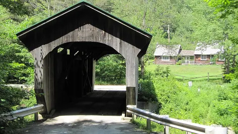 Morgan Covered BridgeBelvidere, VT · built 1887
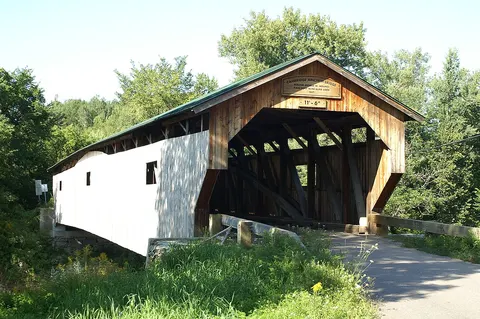 Poland Covered BridgeCambridge, VT · built 1887
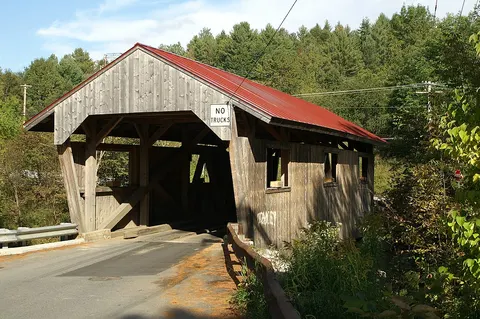 Power House Covered BridgeJohnson, VT · built 1872
Red Covered BridgeMorristown, VT · built 1896
Village Covered BridgeWaterville, VT · built 1877
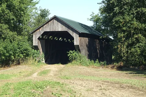 Gates Farm Covered BridgeCambridge, VT · built 1897
Limited data
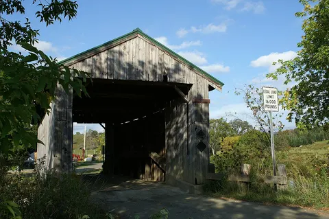 Scribner Covered BridgeJohnson, VT
Limited data
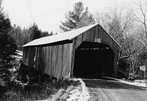 Waterman Covered BridgeJohnson, VT · built 1868
Limited data
Orange County
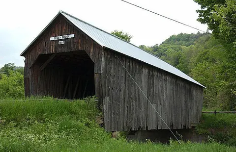 Cilley Covered BridgeTunbridge, VT · built 1883
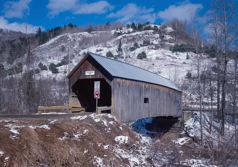 Flint Covered BridgeTunbridge, VT · built 1845
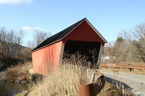 Gifford Covered BridgeRandolph, VT · built 1904
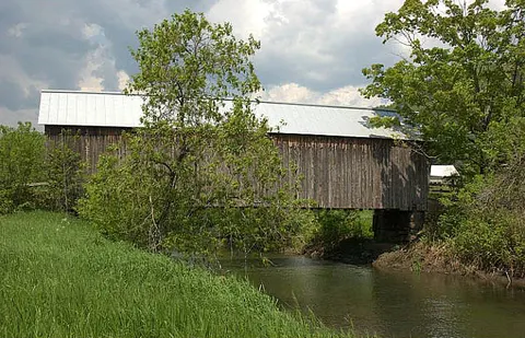 Howe Covered BridgeTunbridge, VT · built 1879
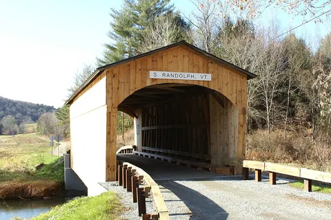 Kingsbury Covered BridgeRandolph, VT · built 1904
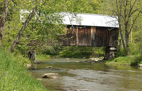 Larkin Covered BridgeTunbridge, VT · built 1902
Mill Covered BridgeTunbridge, VT · built 1883
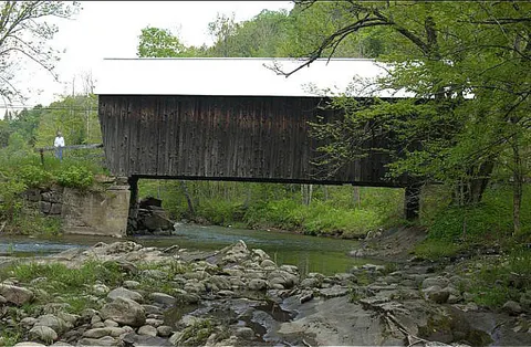 Moxley Covered BridgeChelsea, VT · built 1883
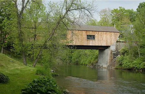 Union Village Covered BridgeThetford, VT · built 1867
Sayres Covered BridgeThetford, VT
Limited data
Orleans County
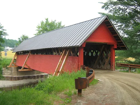
Rutland County
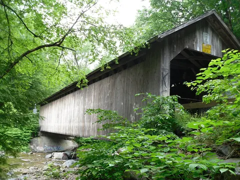 Brown Covered BridgeShrewsbury, VT · built 1880
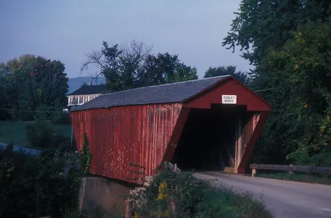 Cooley Covered BridgePittsford, VT · built 1849
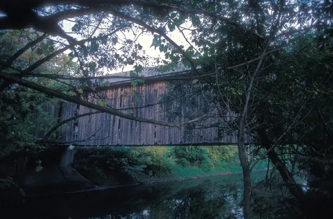 Depot Covered BridgePittsford, VT · built 1853
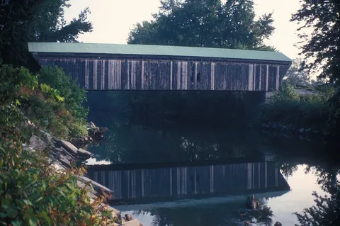 Gorham Covered BridgePittsford, VT · built 1842
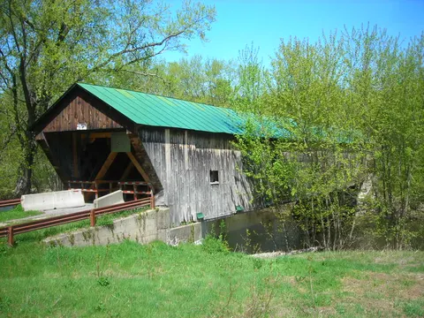 Hammond Covered BridgePittsford, VT · built 1843
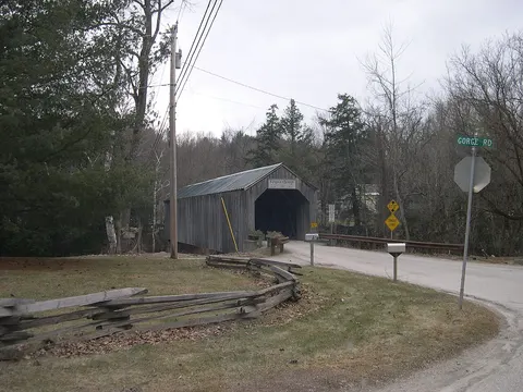 Kingsley Covered BridgeClarendon, VT · built 1870
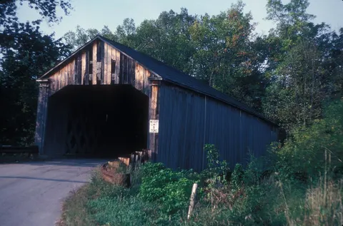 Sanderson Covered BridgeBrandon, VT · built 1840
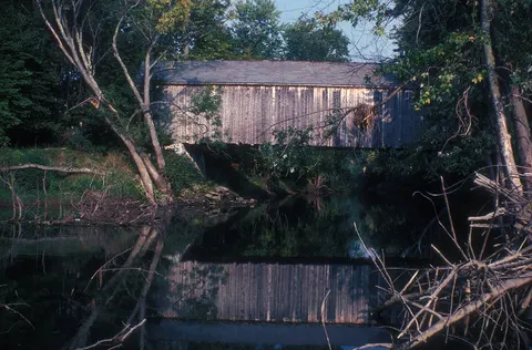 Dean Covered BridgeBrandon, VT
Limited dataTwin Covered BridgeRutland, VT · built 1850
Limited data
Washington County
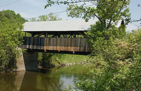 Coburn Covered BridgeEast Montpelier, VT · built 1851
Great Eddy Covered BridgeWaitsfield, VT · built 1833
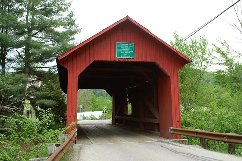 Lower Cox Brook Covered BridgeNorthfield, VT · built 1872
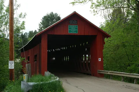 Northfield Falls Covered BridgeNorthfield, VT · built 1872
Orton Farm Covered BridgeMarshfield, VT · built 1890
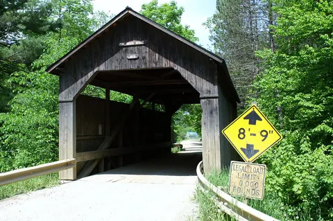 Pine Brook Covered BridgeWaitsfield, VT · built 1872
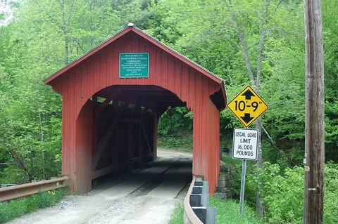 Slaughter House Covered BridgeNorthfield, VT · built 1872
Stony Brook Covered BridgeNorthfield, VT · built 1899
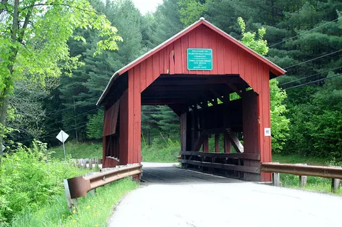 Upper Cox Brook Covered BridgeNorthfield, VT · built 1872
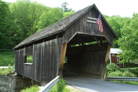 Warren Covered BridgeWarren, VT · built 1880
Best Western Covered BridgeWaterbury, VT · built 1972
Limited data
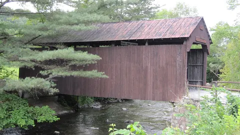 Robbins Nest Covered BridgeBarre, VT
Limited data
Windham County
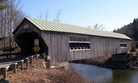 Bartonsville Covered BridgeRockingham, VT · built 1870
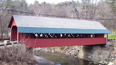 Creamery Covered BridgeBrattleboro, VT · built 1879
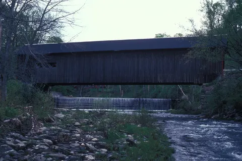 Green River Covered BridgeGuilford, VT · built 1870
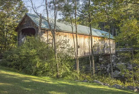 Hall Covered BridgeRockingham, VT · built 1870
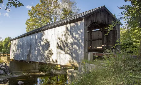 Kidder Hill Covered BridgeGrafton, VT · built 1870
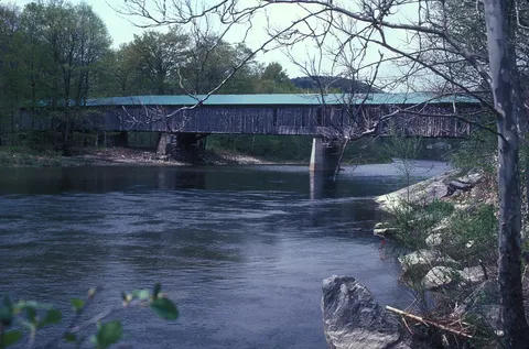 Scott Covered BridgeTownshend, VT · built 1870
West Dummerston Covered BridgeDummerston, VT · built 1872
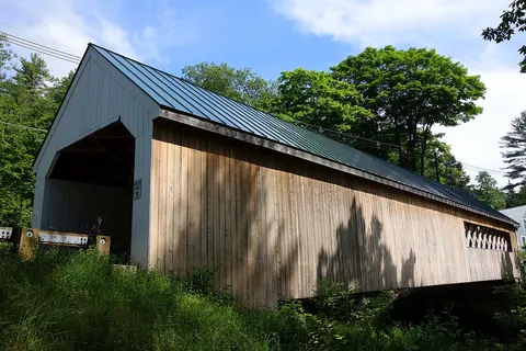 Williamsville Covered BridgeNewfane, VT · built 1870
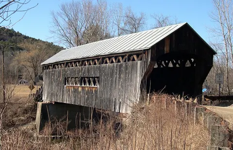 Worrall BridgeRockingham, VT · built 1870
Hermitage Road Covered BridgeDover, VT
Limited dataHitchock-Cormier Covered BridgeRockingham, VT · built 2008
Limited dataJohnny Esau Covered BridgeMarlboro, VT · built 2004
Limited data
Windsor County
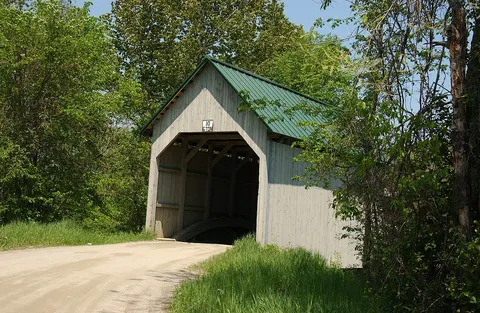 Bests Covered BridgeWest Windsor, VT · built 1889
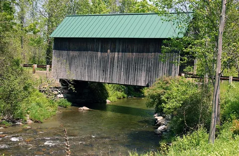 Bowers Covered BridgeWest Windsor, VT · built 1919
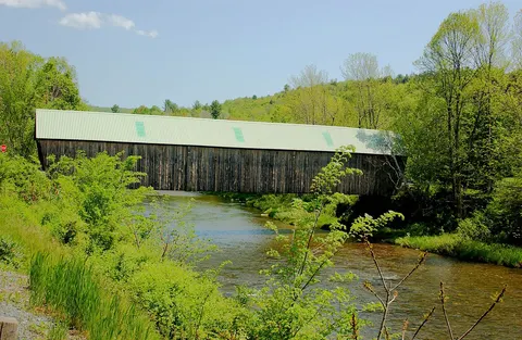 Lincoln Covered BridgeWoodstock, VT · built 1877
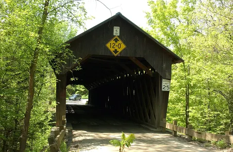 Martins Mill Covered BridgeHartland, VT · built 1881
Quechee BridgeHartford, VT · built 1970
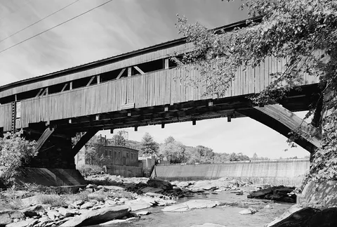 Taftsville Covered BridgeWoodstock, VT · built 1836
Union Street Covered BridgeWoodstock, VT · built 1969
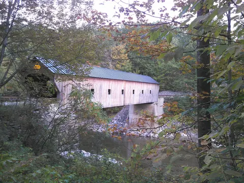 Upper Falls Covered BridgeWeathersfield, VT · built 1840
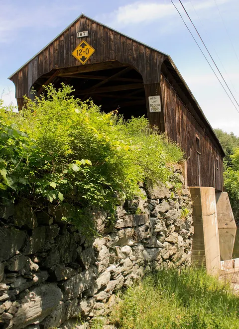 Willard Covered BridgeHartland, VT · built 1870
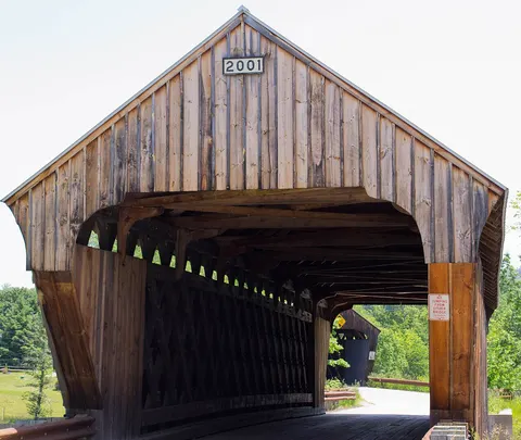 (Willard) Twin Covered BridgeHartland, VT · built 2001
Limited dataSalmond Covered BridgeWeathersfield, VT · built 1875
Limited data
Sources: Vermont ANR / VTrans covered bridges map layer, Wikidata; National Register reference numbers via Wikidata. Checked 2026-11-01.